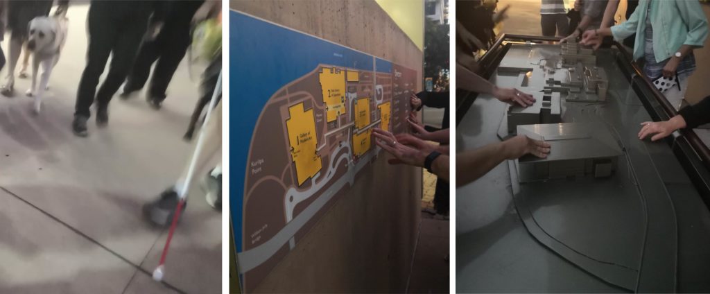
While at the 2019 Round Table Conference in Brisbane, a group of attendees (touch readers, family members and accessible format producers) took a short excursion to explore the accessible maps of the museum district in South Bank.
We found several wall-mounted print/braille maps along with a large table-top model, located on the Grey street side of the State Library. It was wonderful to experience these inclusive accessibility measures in public spaces.
Do you know of any similar maps or models in your area? Please let us know!